Beach trip report
| General Location | Foster |
|---|---|
| Aboriginal Tribe/Language Group | Worimi people |
| Access to beach | Road access to beach |
| Beach Classification | Wave Dominated – Intermediate – Transverse bar and rip |
| Start Date/Time | 16 May 2017 05:45 |
| Start Location (inc Lat/Log) | S32° 18.704’ E152° 31.300’ |
| End Date/Time | 16 May 2017 08:54 |
| End Location (inc Lat/Log) | S32° 13.956’ E152° 33.516’ |
| Mode of Travel | Walk |
| Distance Travelled | 10.4km |
| Location of Sand Sample (lat/Long) | S32° 16.867’ E152° 31.550’ |
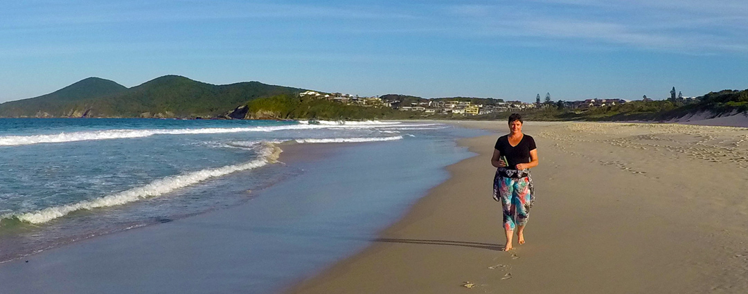
It was beautiful day in Foster calm seas, light winds. We spent the morning kayaking around the river delta behind the township of Foster.
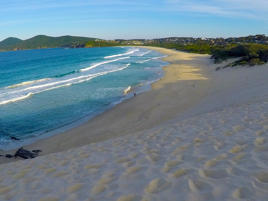
One Mile Beach trends south-southeast from Bennetts Head for 1.3 km to a prominent southern headland. The beach is backed by a vegetated foredune apart from a sand blow at the north end, with a golf course in the centre and residential development at both ends.
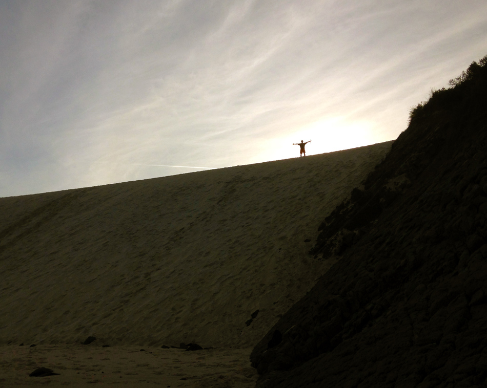
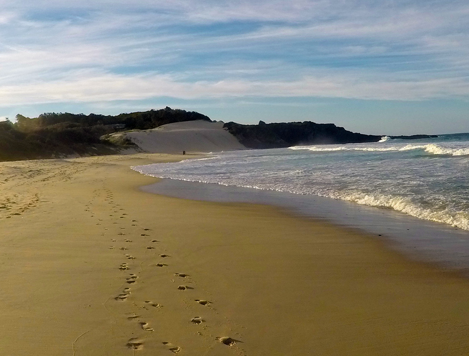
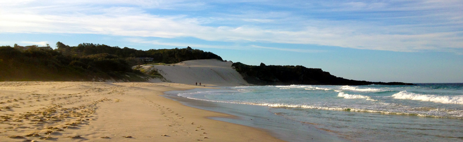
We started from the Northern end watched a young girl run up this 30m high sand dune about 5 times, I could at least get to the top once. We then had a very pleasant walk in the late afternoon sun before heading off to see if we could complete two beaches in a single day.