Beach trip report
| General Location | Hopetoun |
|---|---|
| Aboriginal Tribe/Language Group | Wudjari Language |
| Access to beach | road to back of dunes |
| Beach Classification | Wave Dominated – Reflective |
| Start Date/Time | 7 Feb 2018 07:54 |
| Start Location (inc Lat/Log) | S33° 55.987’ E120° 14.409’ |
| End Date/Time | 7 Feb 2018 10:08 |
| End Location (inc Lat/Log) | S33° 56.484’ E120° 17.975’ |
| Mode of Travel | Bike/Walk |
| Distance Travelled | 6.4km |
| Location of Sand Sample (lat/Long) | S33° 56.267’ E120° 16.405’ |
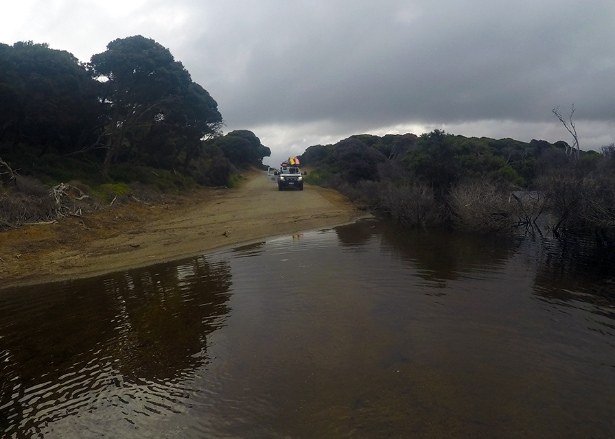
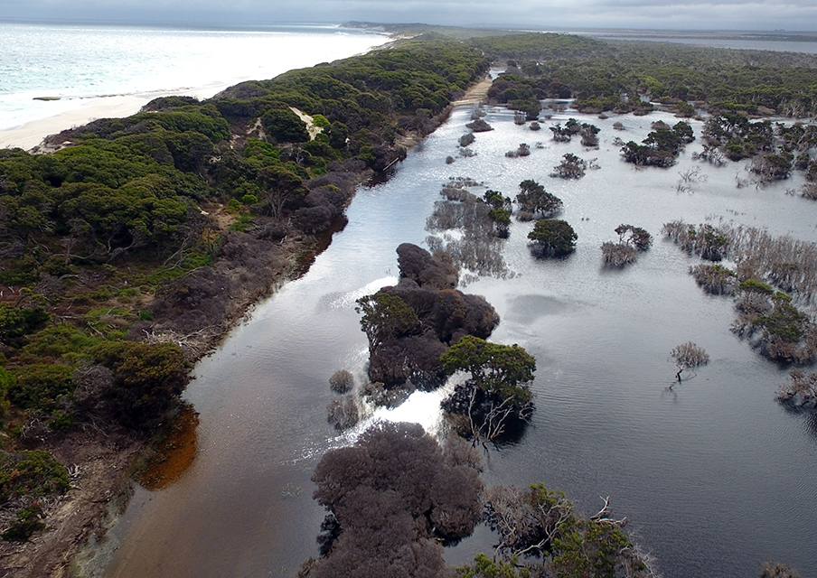
A very well research beach wel that was what I thought;access to the beach was going to be easy. I’m coming to realise that the Mile Beaches always have something up their salty sleeves to keep me on my toes. Southern Ocean Road which hugs the coast between Masons Bay and Hopetoun passes by Twelve Mile Beach. Arriving at Mason Bay expecting to turn right onto Southern Ocean Road to travel reach the eastern end of Twelve Mile Beach we were confronted with witch’s hats and a big yellow and black road closure sign (Nothing to do with Richmond Footy club BTW). Not knowing why and no one around to ask, had no choice but to do a 50km round trip to Hopetoun. At the fantastic Hopetoun Community Resource Centre, the lovely ladies informed us about the Lake Jerdacuttup flood of Feb 2017. Twelve months later large sections of Southern Ocean Road are still extensively flooded. So, we had no choice but to utilise the great hospitality of the Hopetoun RV friendly, 48-hour, must be self-contained, free camping and reassess our plans for Twelve Mile Beach.
It appears that Twelve Mile Beach is made up of a lot of beach segments which have their own localised names. These range from Thirteen Mile Beach in the east to Five Mile Beach in the west, I can only guess the local names stem from the fishing enterprises that occurred during the late 1940’s. Collectively the beach segments are part of the continuous stretch of sand referred to as Twelve Mile Beach in the Geoscience database of Australian names.
A salmon cannery established in Hopetoun contributed to the revitalisation of the town after WWII. It was reported that 120,000 salmon were caught in 1948 on Twelve Mile Beach and then 152,000 the next year. Unfortunately, by 1951 the salmon catch at Twelve Mile Beach was a complete failure, so the cannery was dismounted and sold-off, but the legacy of this short time enterprise lives on in this proud small community today.
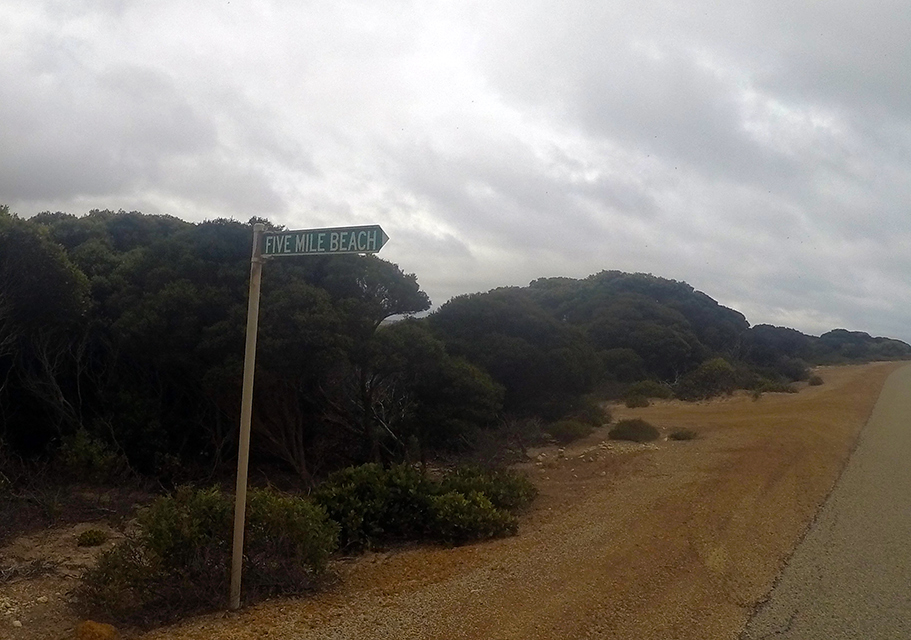
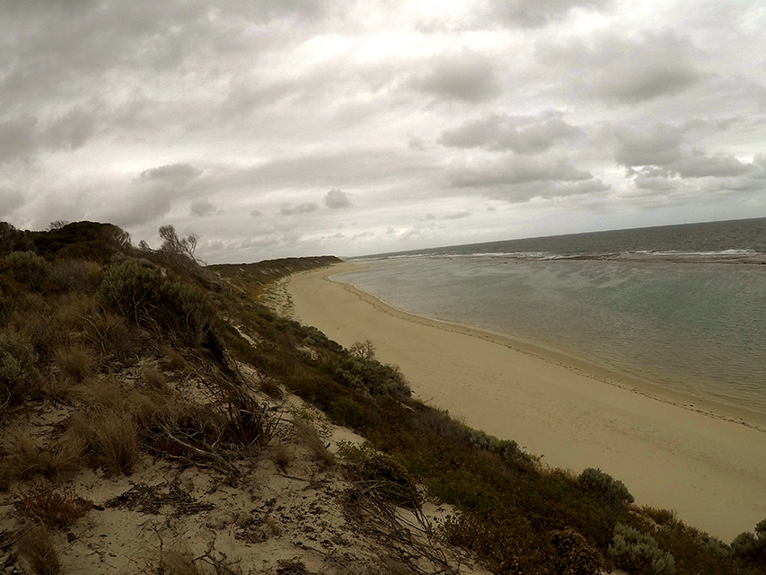
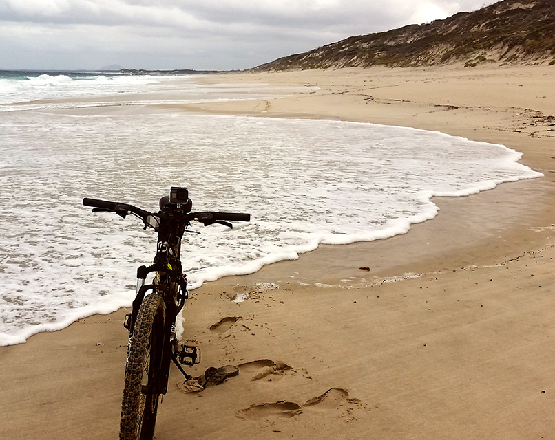
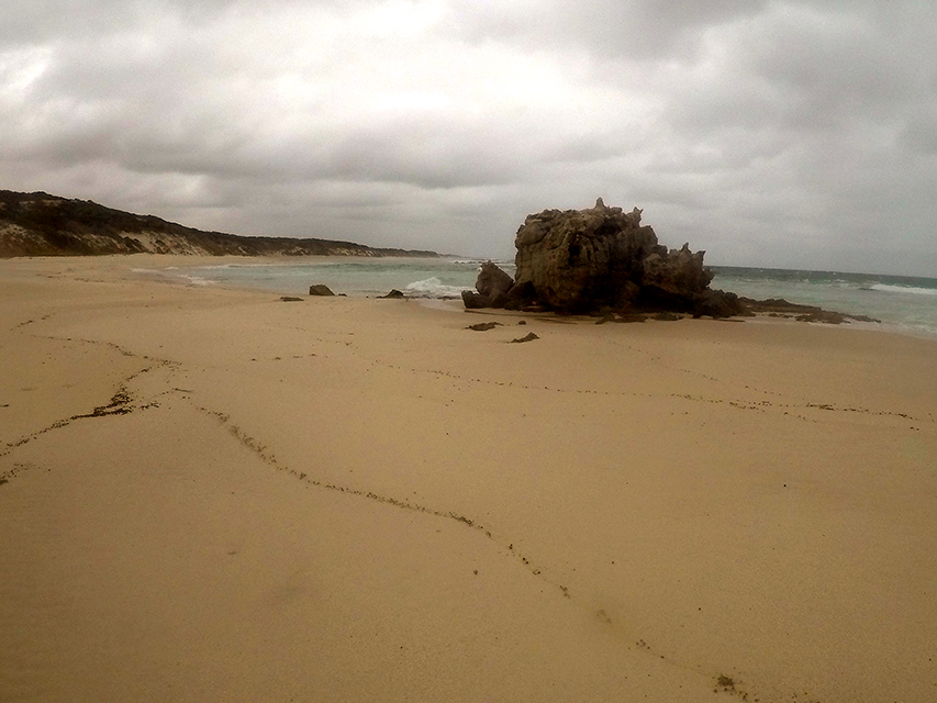
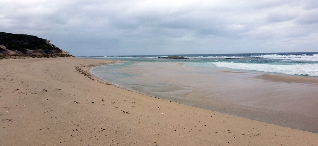
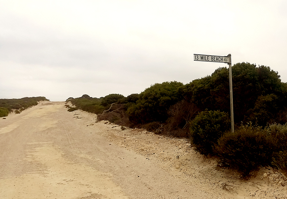
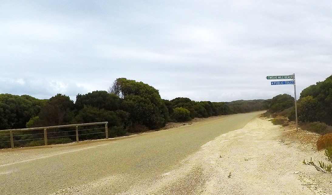
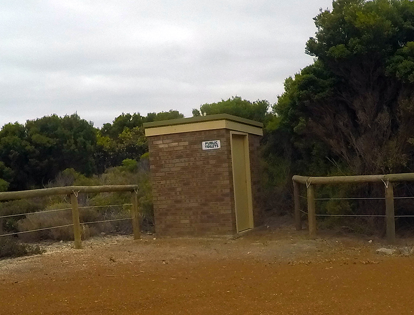
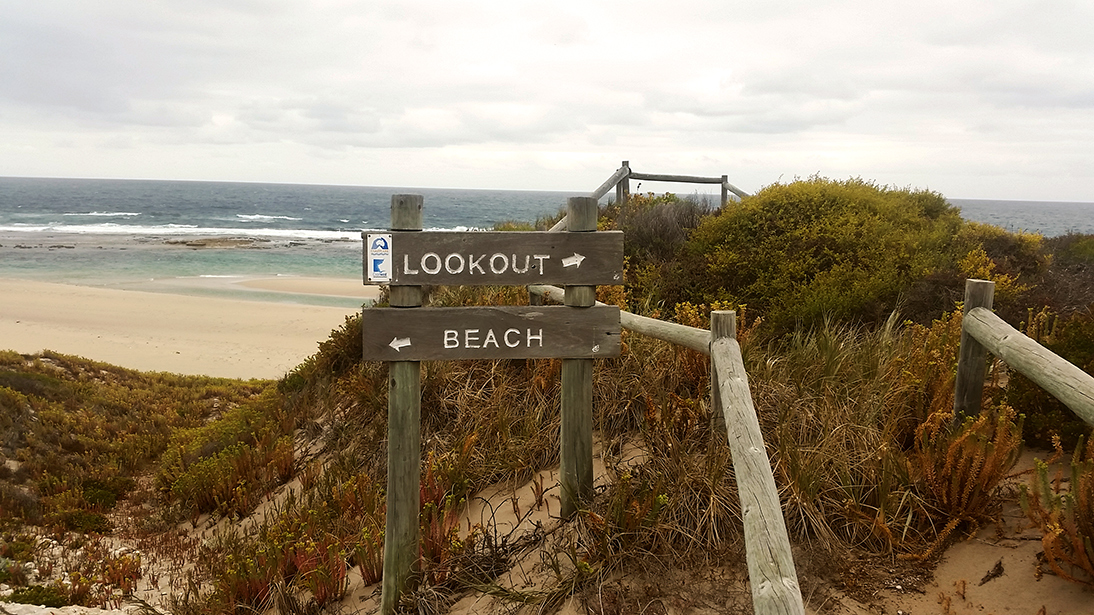
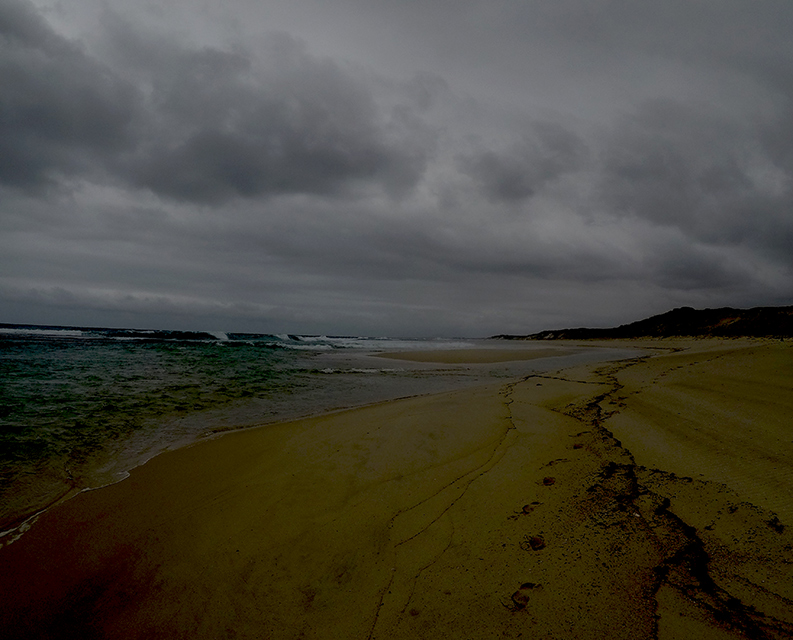
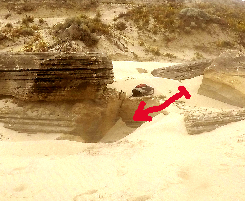
Still suffering Achilles tendon strain in both legs, I had no choice but to bike the length of Twelve Mile Beach both. Taking consideration of the tides it was an early start the next morning with Joanne driving me to the Five Mile Beach Carpark at least we could get to the western end by car. After thanking Joanne for getting out of bed so early and waving goodbye I carried, pulled my bike over 200 metres of steep dunes onto the beach. I started cycling along the beach close to the waves as they came rolling onto the soft white sand for the first two kilometre, I manage riding about 40% of the time. The rest of the beach was just a hard pushing and pulling through very soft sand, eventually reaching the far end of the beach having travelled 6.4km. I found a nearby track leading out across the dunes to Southern Ocean Road and to my surprise there was a sign “13 Mile Beach” so conformation I’d reached the end. it was here I thought I’d try cycling back along part of Southern Ocean Road, I came to another sign “12 Mile Beach” and a good road leading down to a car park close to the dunes behind the beach. At the carpark was a well-constructed brick public toilet but on internal inspection it obviously had not been cared for quite some time. There was a disused path through the dunes leading towards the beach, the sign on the top if the dune indicating directions to a lookout and the beach that appeared to be very much out of place.
Anyway, considering I had completed Twelve Mile Beach I thought I might be able to sneak back along the sealed Southern Ocean Road further towards Hopetoun, what was I thinking!. I powered along the road over a ridge and down the other side for about 1 km, then I came to a flooded section, wow it is flooded at both ends. There was no going around or clambering down to the beach as the dunes were heavily wooded, so I had no choice but to back track along the road to the “12 Mile Beach” sign and return to the beach there.
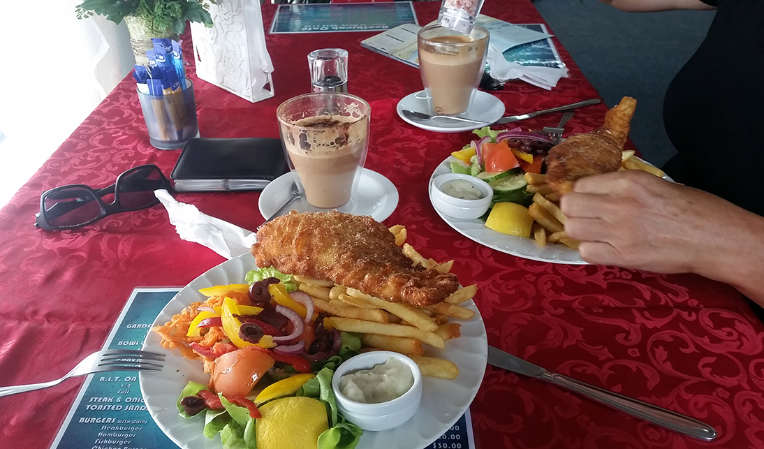
My return journey was 100% push, pull the bike along the beach as the incoming tide was now breaking over all the rideable sand. I also had to evade a nasty electrical thunderstorm, with several lightning strikes coming down very close by. I did return safely to meet Joanne at the pickup point around midday and we treated ourselves to a hearty sit-down lunch in the Hopetoun eatery.