Beach trip report
| General Location | Ilbibie, south of Mackay |
|---|---|
| Aboriginal Tribe/Language Group | Guwinmal people |
| Access to beach | Kayak from Notch Point Yarrawonga Park Reserve |
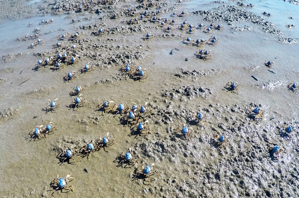
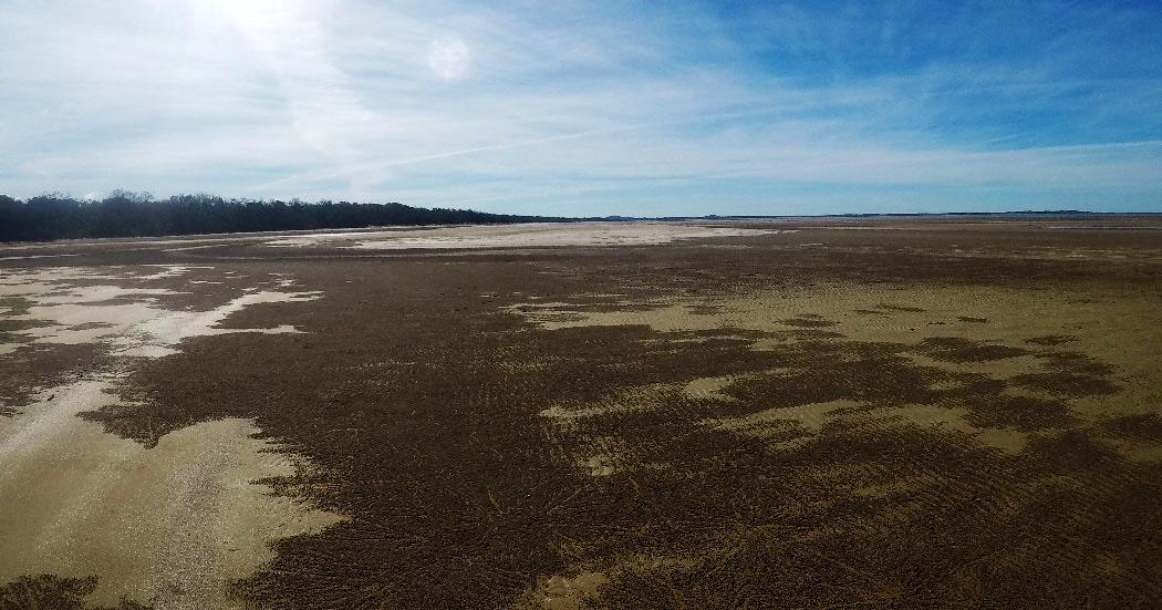
| Beach Classification | Tide Dominated – Reflective + tidal mud flats |
| Start Date/Time | 18 June 2017 11:37 |
| Start Location (inc Lat/Log) | S21° 45.221’ E149° 26.047’ |
| End Date/Time | 18 June 2017 13:37 |
| End Location (inc Lat/Log) | S21° 48.616’ E149° 26.320’ |
| Mode of Travel | walk |
| Distance Travelled | 3.36km |
| Location of Sand Sample (lat/Long) | S21° 46.179’ E149° 26.005’ |
After spending the previous day conducting reconnaissance, the final decision was to kayak 4km through croc and shark infested waters to Four Mile Beach.
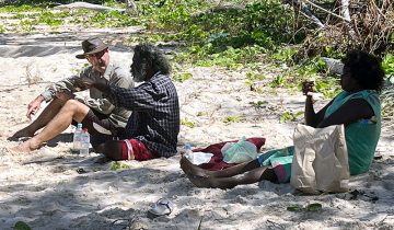
Joanne and I drove the Carmila and Ilbibie district talking to publicans, shop, service station, caravan park owners and employees. It was not until I spoke to a very friendly road side grass mower guy that the plan to kayak from Notch Point to Four Mile Beach appeared to be our only suitable option.
The following morning, we drove back up the highway and then the 12km of grave and dirt track past the prawn farm to the Yarrawonga Park Reserve at Notch Point. After talking to a few of the, Grey Nomads, we had doubts about kayaking across the tidal waters to Four Mile Beach. Also, a monument to a fella who had gone missing in 2014 from the makeshift Notch Point boat ramp was a little off putting as well.
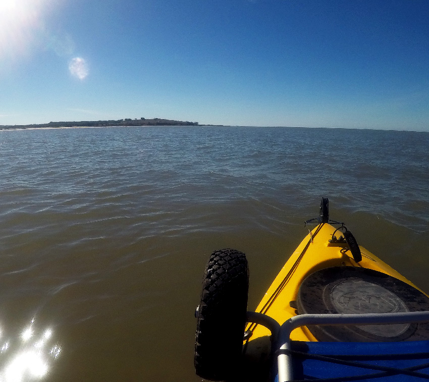
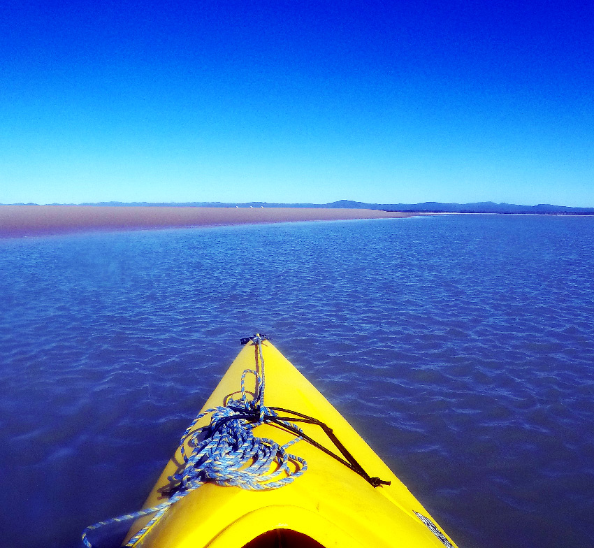
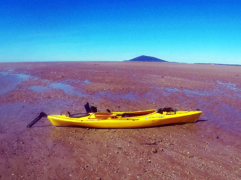
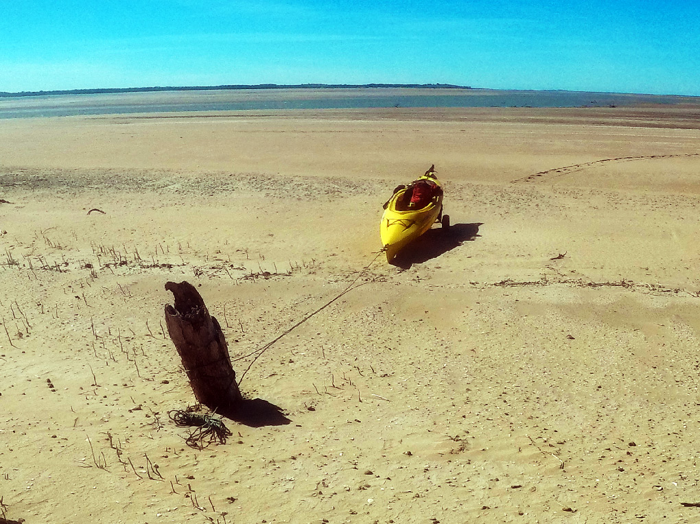
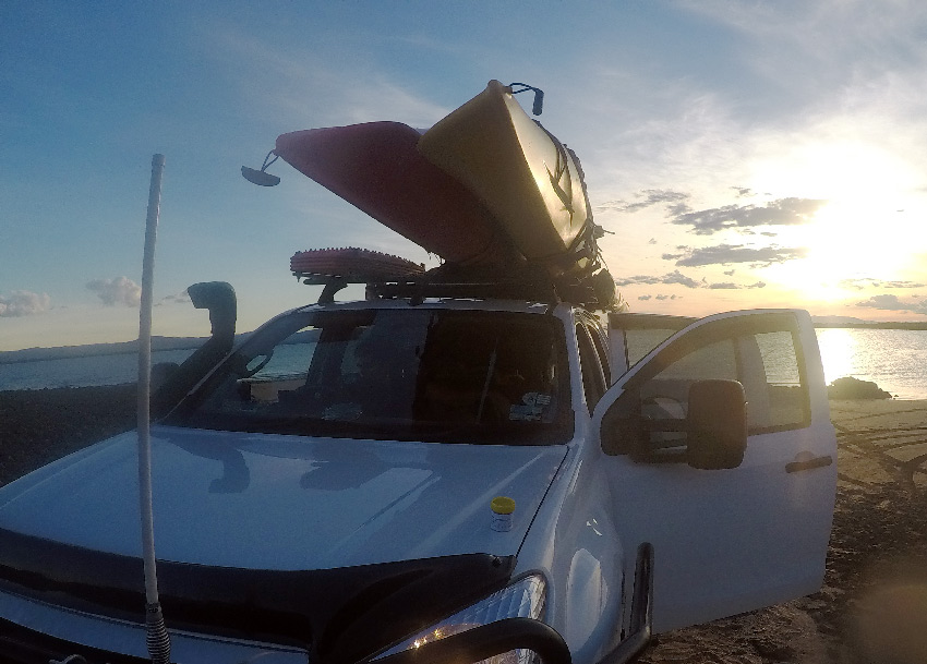
It was looking less likely that this option was going to work, until I struck up a conversation with a deck chair fisherman near the boat ramp, who seemed to be catching quite a few flatheads while we spoke. He somehow talked me into going across, explaining how he never had any problems with crocs and what the others said was rubbish. Somehow this very portly gentleman and his younger offsider convinced me to give it a go. After talking it over with Joanne and devising a plan, I set off in the kayak to navigate my way through the shallow tidal waters along the mudflat channel leading out from Notch Point and Gillinbin Creek. The crossing took 80 minutes. As the tide was nearly completely at it’s lowest the kayak had to be hauled up the 300 metres of sand and mud flats to carefully secure it to a log on the beach.
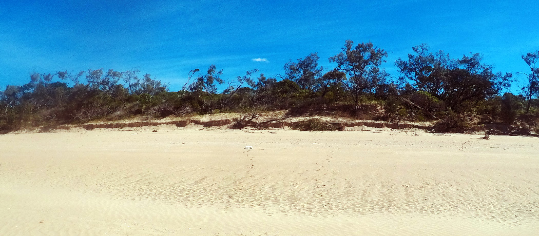
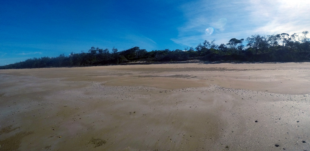
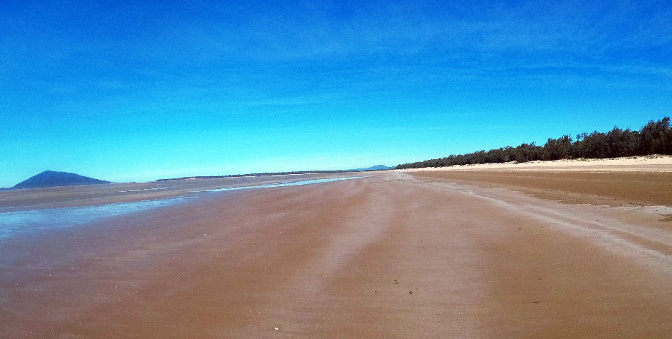
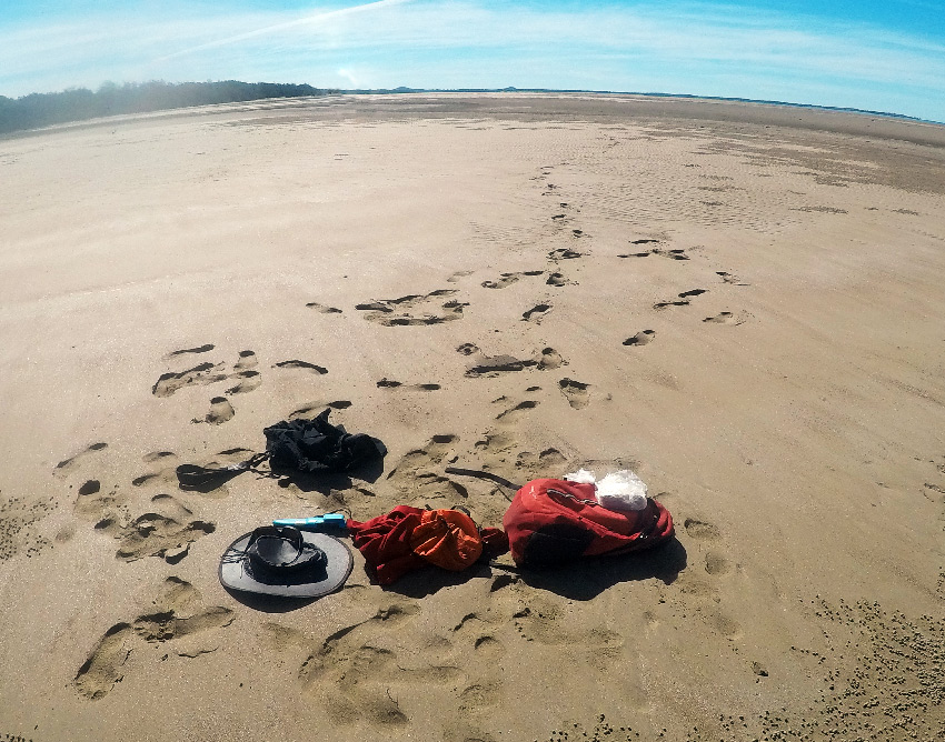
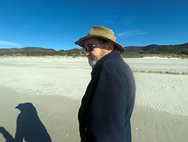
The walk along the beach was extremely pleasant being private property I was mindful to stay below the high water mark and I kept moving. I actual walked about 1.4km further than I really had to, ending up at the mouth of the next major creek, however that didn’t matter. I then trekked back up the beach again and loaded all my hiking gear in the kayak for the paddle back to Notch Point.